Skip to main content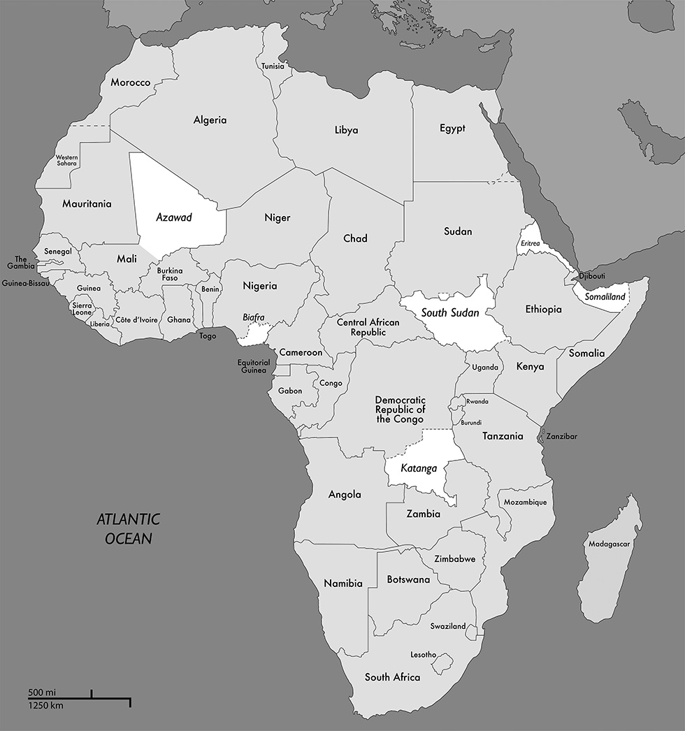
Notes
table of contents
Map of Africa—Secession Case Studies Shown in White
Copyright © 2014 Nathan E. McCormack and Charles G. Thomas
Annotate
Secession and Separatist Conflicts in Postcolonial Africa
Copyright © 2014 Nathan E. McCormack and Charles G. Thomas